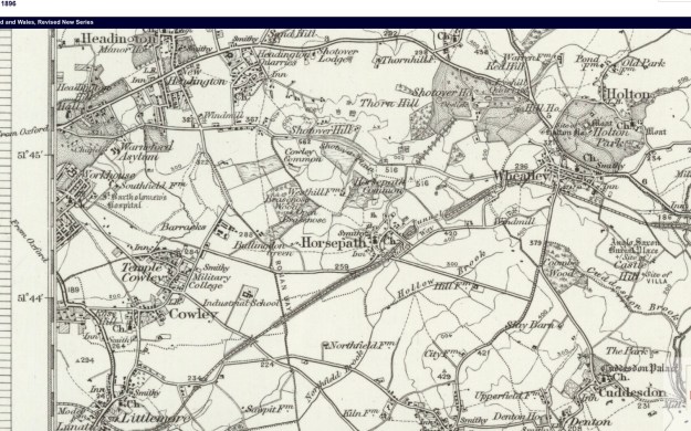
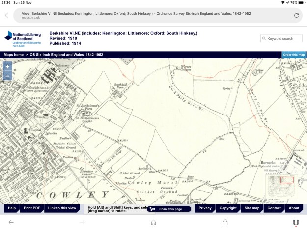
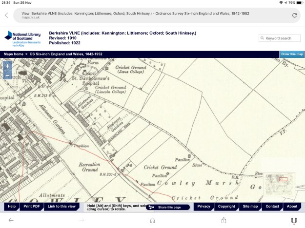
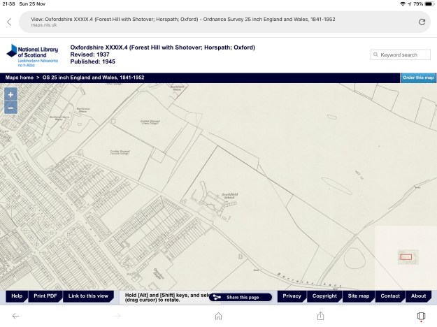
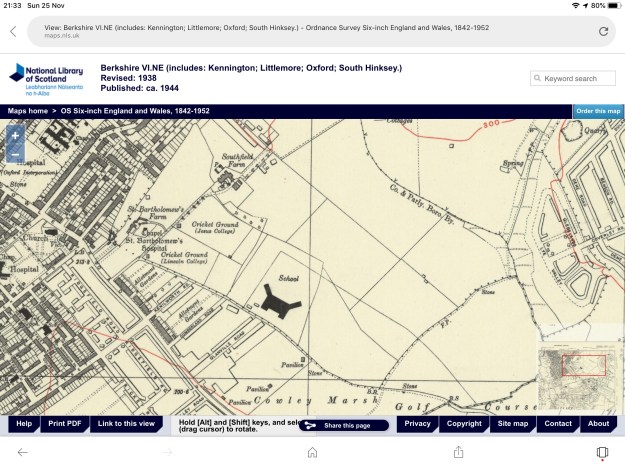
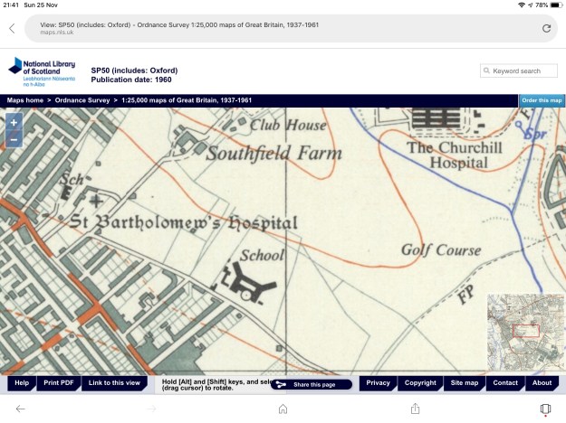
These maps are taken from the archive of Ordnance Survey maps held at the National Library of Scotland. They chart the gradual development of the area.
Enter a caption
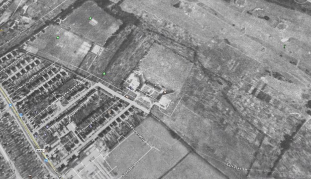
This is an image from Google Earth taken in 1945. It shows the allotments having spilled over into the area now occupied by the student flats, as well as a significant area of the golf course. This is part of the “Dig for Victory” campaign of the Second World War.
Enter a caption
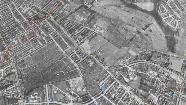
This wider image shows the whole of Florence Park being under cultivation.
